Photo Bruce Miller

Trails
Benua
1.9 miles
Moderate to difficult – Hike – Dirt and gravel
Loop trail through woods and fields leading to Lake Emily.
Cemetery Ridge
2.5 miles
Moderate to difficult – Hike – Dirt and gravel
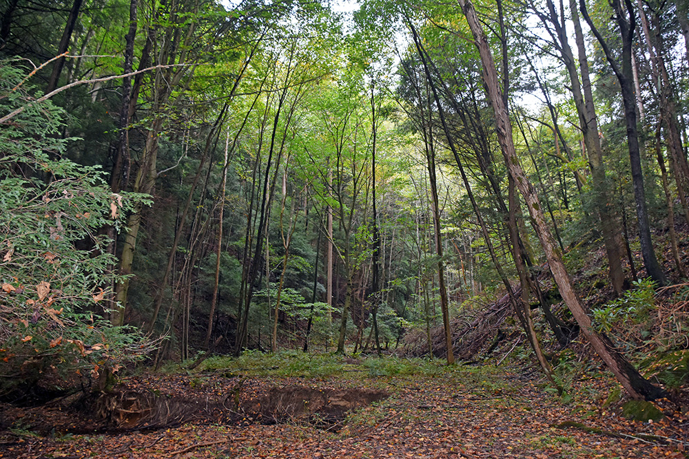
Begins with a steep zigzag ascent through the woods peaking at about 700 feet. At the top of the ridge the trail alternates between forest and meadows.
Chestnut
2.2 miles
Difficult – Hike – Dirt and gravel
Goes through valleys with sandstone formations and crosses forested ridges.
Creekside Meadows
1.7 miles
Easy – Hike, Pets – Grass
Follows the banks of Clear Creek through open fields. A 1-mile section of the trail west of Starner Road is also a pet trail.
Fern
1.7 miles
Moderate to difficult – Hike – Dirt
Goes along a steep ridge and through a forest with pines and hemlocks.
Good Prairie
0.3 miles
Easy – Hike – Dirt and gravel
Loops around a prairie.
Green Mansions
0.4 miles
Moderate to difficult – Hike – Dirt and gravel
Extension from Benua Trail leads to the site of the old Benua family mansion.
Hemlock
1.5 miles
Difficult – Hike – Dirt and gravel
Descends and ascends a steep ravine and goes through shady hemlock groves, sandstone outcroppings, a carpet of ferns and ridges topped with hardwood trees.
Lake
0.9 miles
Moderate to difficult – Hike – Dirt
Winds through the woods to an observation deck overlooking Lake Ramona.
Prairie Warbler
0.6 miles
Easy to moderate – Hike – Dirt
Crosses a rolling hilltop, goes around a meadow and through the woods.
Tulip Tree
0.6 miles
Moderate to difficult – Hike – Dirt
Loops through the woods along a rolling hillside.


Shelters
Non-Reservable Shelters
Picnic Areas: Fern and Creekside Meadows
Hiking trails around picnic areas totaling approximately 7 miles.
Two picnic areas: Picnic tables, grills, vault restrooms
Barnebey-Hambleton Day Use Area
From US 33, area is located approximately 5 miles down Clear Creek Road, near county line. Area is in Fairfield County.
Picnic Areas: Valleyview and Ironwood
One non-reservable family shelter in Valleyview Picnic Area only, with grills and restrooms. Capacity 30.
The Ironwood Picnic Area includes picnic tables and grills
Non-reservable shelters are available free to use on a first-come, first-served basis. Shelters are available when the park opens at 6:30am and can be retained while someone from your party remains at the shelter.
Activities

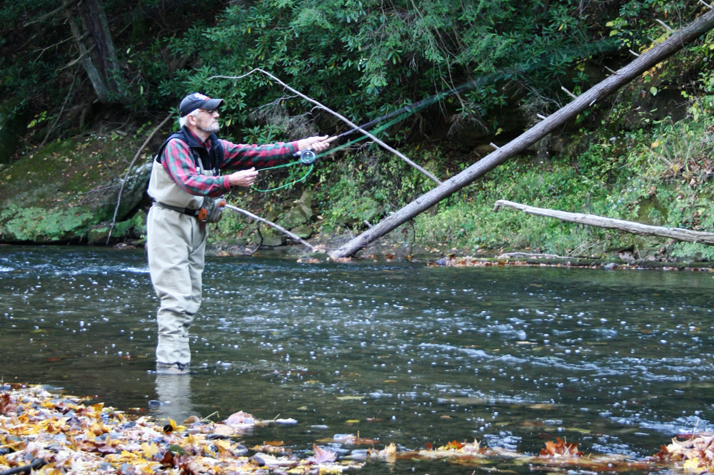
Access points are located along Clear Creek Road and fishing is available along the 5-acre Lake Ramona and from the dam at Lake Emily.
The 4,729-acre Allen F Beck State Nature Preserve is the largest in Ohio, featuring scenic cliffs of blackhand sandstone and rugged trails over ridges and through deep-cut gorges. (Off-trail activity is prohibited in the nature preserve).
PET TRAILS
Creekside Meadows Trail
Leashed pets are allowed on a 1-mile section of the trail west of Starner Road (but not on other park trails).
Domesticated dogs and cats are also permitted in picnic areas, parking lots and on roadways. Pets shall be on a leash no longer than 6 feet.
Picnic tables and grills are available at the Fern and Creekside Meadows areas. The Barnebey Hambleton Area has a shelter, grills and restroom.