LIZ CHRISTIAN
Social Media and Marketing Specialist
You asked, we listened! Many visitors have been asking about Chronolog stations at Metro Parks, and we’re happy to announce that we’ve recently added two stations. These Chronolog stations are thanks to the Tad Jeffrey Memorial Fund through Friends of Metro Parks (you can read about other park projects funded through this mini-grant program here).
What is Chronolog?
Chronolog is a citizen science tool where visitors can take a photo using their phone to add to a time-lapse and participate in environmental monitoring. Chronolog’s mission includes “engaging people with nature in an interactive new way” and “keeping a record of phenological change for scientific use.” These stations have been used in public and private lands all over the US (and even a few in Europe, Africa and Australia) to monitor restoration projects, water levels and quality, invasive and native species, fire and storm recovery, and help organizations educate and engage visitors.
How does it work?
All we need you to do is take a picture and send it in following the instructions on the sign! Turn your phone so that it fits into the bracket, take a photo, and email it to the email on the sign. There’s no need to download apps, create an account or add any personal information. Once a photo is submitted, you’ll get an email in return with a link to the time-lapse (you can also find those links in the next section of this article).
These photos will be used by Metro Parks to gather data about these areas as things grow, seasons change, and more!
Where can I find the stations in the parks?
The two stations that we have at the moment are at Sharon Woods and Pickerington Ponds Metro Parks.
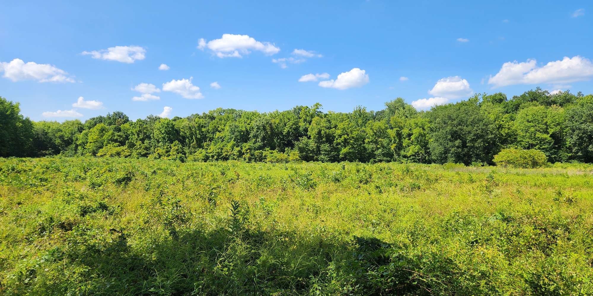
The Sharon Woods station can be found on the observation deck along the Edward S Thomas Trail. This is an easy, flat, 1.1-mile trail, and the station looks over the prairie fields in the Edward S Thomas State Nature Preserve. The time-lapse will show the changes in the prairies over time, as well as changes in the seasons. Find the time lapse for Sharon Woods here.

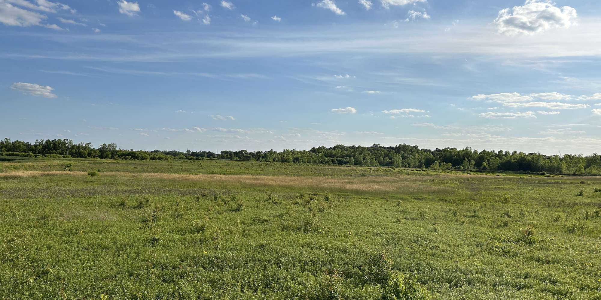
The Pickerington Ponds station can be found in the Glacier Knoll Picnic Area on the observation deck along the Arrowhead Trail near the parking lot. This station looks over Arrowhead Marsh, and the time-lapse will show seasonal wetlands activity, as well as changes in the seasons. Find the time lapse for Pickerington Ponds here.

We’re hoping to add more chronolog stations in the future — so stay tuned. Until then, go forth and contribute!

I saw a park being developed near my neighborhood. There’s a sign that says “flatwood park” I’m happy to have another park near by and was seeing is there plans so the citizens can see the blue print things like what things are being build and how long with it take to completion.
Thank you
Hello Khouan – thank you for commenting. Flatwood Park is not a Metro Park. We suggest you contact Columbus Recreation and Parks Department, which includes the development of Flatwood Park in its future plans.
The Whetstone Prairie in Clintonville would be a terrific location for this! Including the vernal ponds there!